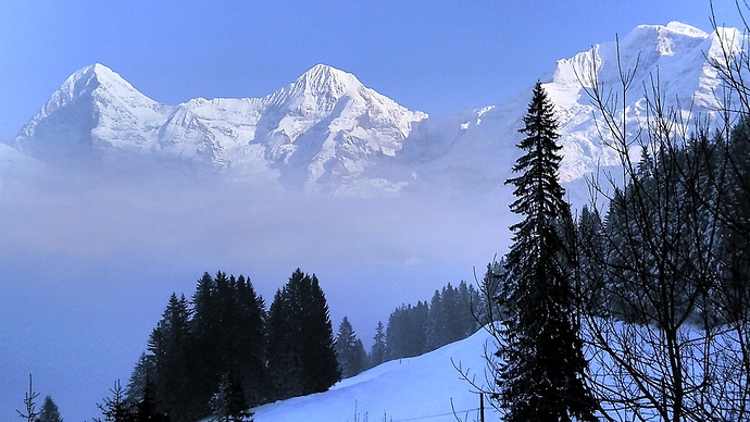
The mountains were just majestic this weekend and, indeed, it was the rumble of a (far away) slide that I heard while hiking that prompted me to work on a small hack.
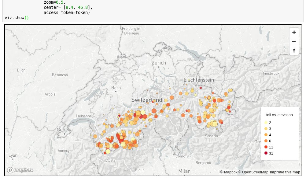
The CKAN portal run by the Swiss Federal Institute for Forest, Snow and Landscape Research WSL - envidat.ch was a nice discovery. I took some data from @WSL_research on accidents caused by snow avalanches, and visualized it using @Mapbox in @ProjectJupyter. The end result looks like this:
Visit nbviewer.jupyter.org for a quick preview, which however won’t fully function without a (free) Mapbox public token. So grab the code and data, and follow the instructions.
Question: has anyone here ever thought about using this type of data, and obtained access to it for research from the authorities? Apparently in the fall of this year, a new version of the StorMe system will go on-line. Some background about mapping natural disasters is available from BAFU here.

