For a presentation at a UNIGIS event (also see Mapping workshop) I’ve collected a small selection of projects which effectively use open data with open maps, most of which were created during Opendata.ch hackathons. Please let me know if you have any questions about how these were developed.
In alphabetic order.
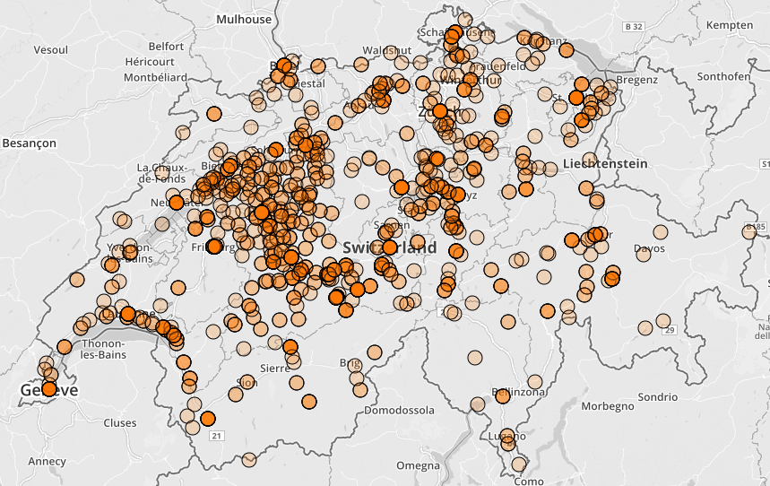
Artmap: geolocates artworks from the Gugelmann Collection
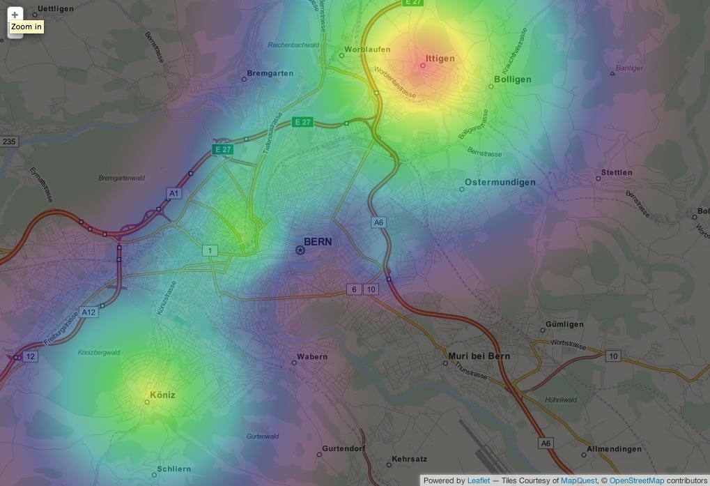
Cumulizer: heatmap of spending at groceries
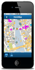
Denkmalführer: tour of historical objects in and around Zürich
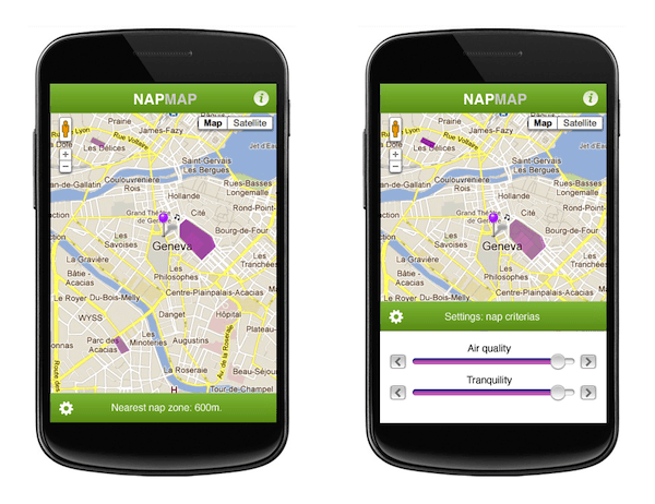
NapMap/Sieste: find a perfect place to take a nap
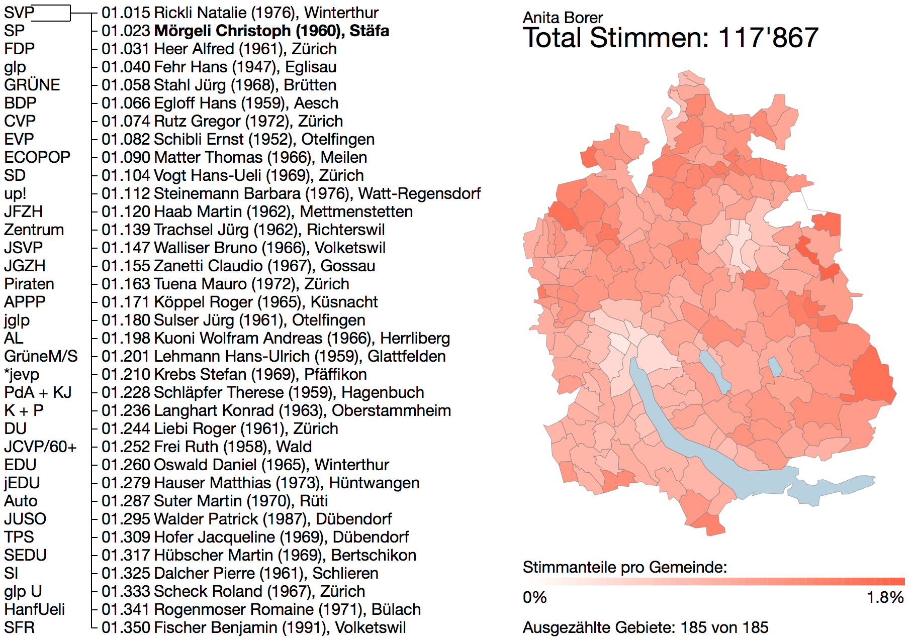
StimmenZähler: near-real-time vote counting
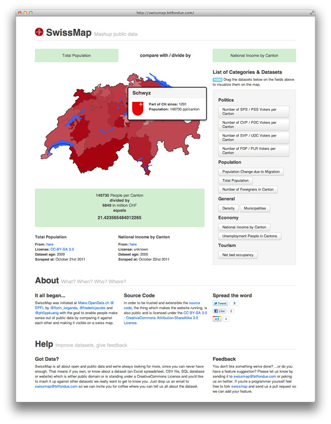
SwissMap: comparison of (at first glance) unrelated datasets
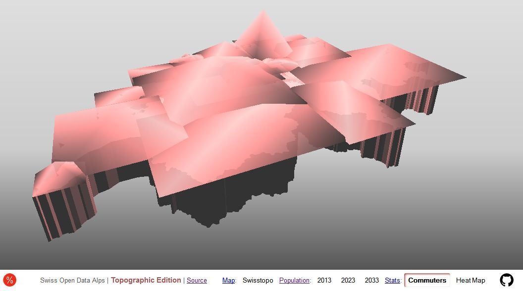
Swiss Open Data Alps: several datasets visualised using open WebGL techniques
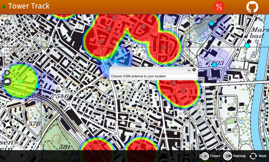
Tower Track: range of cell communication towers
Vélo Genève: safer/better bike routes in Geneva
