At the bottom of the survey of the Open Knowledge 2016 index of open data readiness, is Switzerland’s entry for land ownership. This kind of data has been at the heart of civic reform around the world, from optimizing cities one lot at a time…
…to negotiating disputes and connecting the dots on a global scale…
https://twitter.com/Land_Matrix/status/908235512045096960
…and really, for many businesses - like restaurants - pushing data about your property (the owners, the history, opening hours and other access details, …) onto maps is key to success.
Despite being the most popular dataset in some places, at least according to the Open Data Index, Land Registries are at the bottom when it comes to the average state of global openness. Some people are clearly making money selling this stuff. In other places it’s taking years to get the data together. As the Index suggests:
Data should include maps of lands with parcel layer that displays boundaries in addition to a land registry with information on registered parcels of land. The Index focuses on assessing open land tenure data (describing the rules and processes of land property). Responsible use may enable tenure security and increase the transparency of land transactions. The assessment criteria were developed in collaboration with Cadasta Foundation. For more information on land ownership datasets and where they’re located, check out Cadasta Foundation’s Data Overview.
- Parcel boundaries (inc. latitude and longitude)
- Parcel ID
- Property value (i.e. Price Paid, Property Tax Value)
- Tenure Type (ie. leasehold, freehold, protected lands, public lands, customary lands)
Cadasta Foundation is not only an NGO dedicated to land rights, it runs its own open source platform:
What is the situation in Switzerland? The Index entry mentioned above links to the Swiss cadastral system, suggesting that it is not open, because the data at a national level is not accessible. The reality is a bit more complicated. cadastre.ch is part of a project stretching back centuries, synchronizing the standards of maintaining and aggregating land registries across the Swiss cantons, today a big interdepartemental effort with massive technical scope and legal directives at a federal level, involving over 3000 specialists according to the PR material. It is not easy to make sense of, even to someone with experience in geodata and the political situation. It could not be considered an Open Government Data project in the current state. Still, the public portal is a good starting point:
If you want to obtain information about a plot of land, simply go to www.cadastre.ch/info-en, then enter an address, and (if available) the name of the municipality, the plot number or national coordinates. You will get a variety of information, including views of the plot of land in question (map and aerial images), the responsible surveying office and a link to the cantonal geoportal.
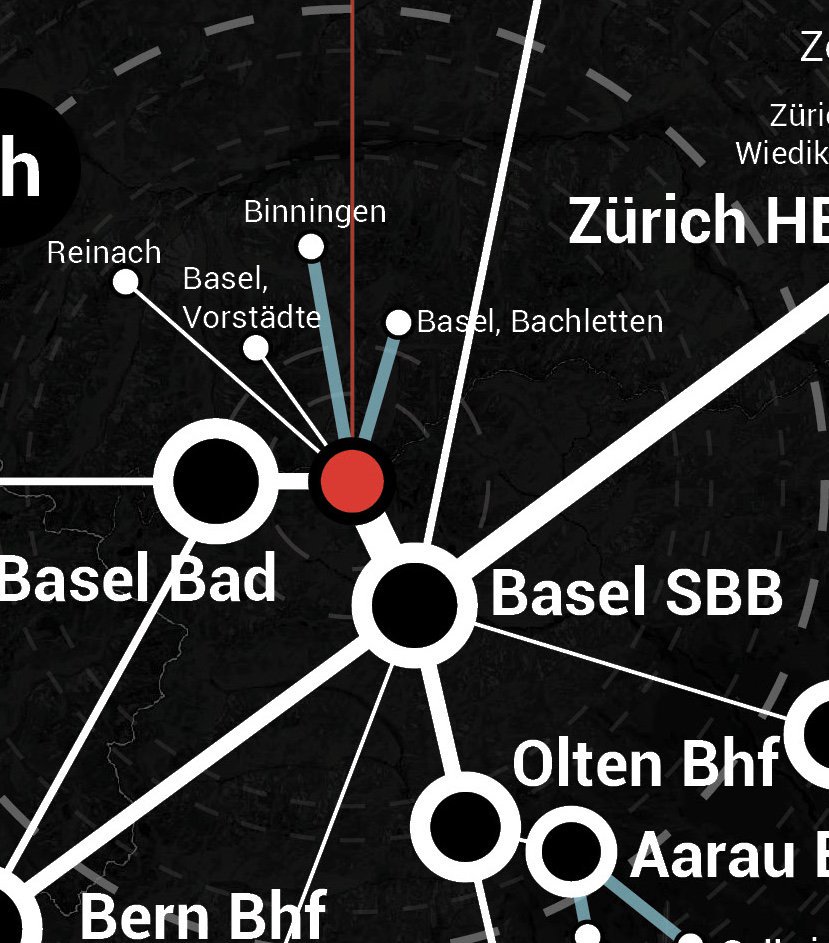
For a 30’000 foot view, you could visit the national statistics. The state of openness and data quality at ground level varies across individual cantons. Several of them (e.g. Genava, Zürich) and communes (e.g. City of Zürich) publish on opendata.swiss. The easiest way to browse the lot is using the GeoAdmin online map, which looks like this:
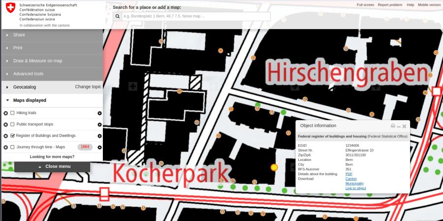
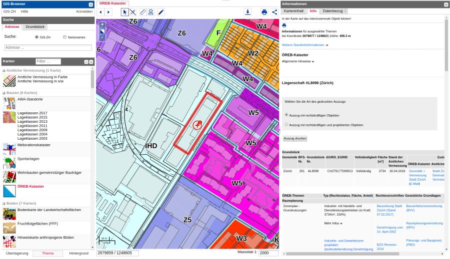
From the Object information popup which you get when clicking on a building (in this case, the location of my coworking space), you can download a PDF with whatever public information is available. Which is, usually, not much beyond the minimal registry data. Using a program like QGIS you can also access this programmatically through a Web service. To dig deeper, you need to see if the canton has an open data project of it’s own, like Zürich - which has more data on their own geoportal:
But as soon as we want details about property, we need to fill out forms and make costly requests.
My question is, since I’ve been approached by a number of people to discuss this topic, what kind of starting points would be interesting for a crowdsourcing effort? The privacy concerns and competitive nature of land registry data need to be more clarified. People who know the situation better should shed light on the subject (tip: the events listed at cadastre.ch are full of interesting presentations on the subject, e.g. I look forward to take part in GeoSummit this June).
What if: we start with the building/land owners/residents themselves, we could start to populate a map - not only of basic data, but intentfully, creating fertile soil for pilot use cases like integration with smart city applications or bottom-up marketplaces where property rights are used as user profiling. Or, perhaps, we could even just start with one dollar:
In what kind of scenarios could this be a terrible idea? What are the ethical implications of creating a digital space to mirror the economic one? What overriding public interests, such as fighting real-estate corruption, would fan the flames? If anyone has examples, perhaps linking to OpenStreetMap or similar open geodata projects, I would be glad to hear them - and will update this thread with any I come across.
See also our Data Expedition of a couple years back on the topic, and more thoughts from transparency activists up north: